2018 Map of Seward C-6 SE
USGS Topo · Published 2018About this map
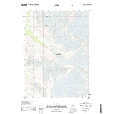
Spencer Glacier and Bartlett Glacier dominate the eastern reaches of this high-elevation landscape within the Chugach National Forest. The 2018 survey reveals a drainage system defined by the Kenai Mountains, where the headwaters of the Placer River and Trail Creek flow through the deep glacial valleys of the Kenai Peninsula. A striking pattern of ice and meltwater emerges as Trail Glacier feeds into Trail Cr, illustrating the dynamic hydrology of the region before these waters eventually move toward the coast. This map offers a precise look at the glaciated terrain and unnamed alpine peaks that characterize the interior wilderness between the Seward Highway corridor and the eastern ice fields.
Find a feature on this map
14 named features on this map. Tap any name to fly to it.
Don’t see what you’re looking for? This feature index may not catch every label — zoom into the map to look around manually.
Map Details
Editions of this 2018 Seward C-6 SE Map
This is the sole edition of this map. No revisions or reprints were ever made.
Other maps of this area

1951 · Seward
USGS Topo · 1:250,000

1951 · Seward C-6
USGS Topo · 1:63,360

1951 · Seward C-5
USGS Topo · 1:63,360

1951 · Seward B-6
USGS Topo · 1:63,360

1951 · Seward B-5
USGS Topo · 1:63,360

1952 · Seward B-6
USGS Topo · 1:63,360

1952 · Seward C-6
USGS Topo · 1:63,360

1952 · Seward C-5
USGS Topo · 1:63,360

1952 · Seward B-5
USGS Topo · 1:63,360

1953 · Seward
USGS Topo · 1:250,000