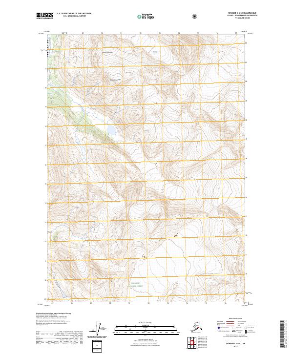
2023 Map of Seward C-6 SE
USGS Topo · Published 2023About this map
The Kenai Mountains dominate this high-altitude landscape within the Chugach National Forest. This 2023 survey of the Kenai Peninsula highlights the dramatic glacial terrain and drainage patterns that define the region's wilderness character. The Bartlett Glacier is a primary geological feature here, feeding into a network of waterways that includes the Placer River and Trail Creek. Further south, the map traces the path of Moose Creek through the steep topography. The lack of named settlements or road infrastructure underscores the preservation of this area as a primitive forest environment, where natural contours and hydrographic features remain the primary landmarks for navigation and study.
Find a feature on this map
11 named features on this map. Tap any name to fly to it.
Don’t see what you’re looking for? This feature index may not catch every label — zoom into the map to look around manually.
Map Details
Editions of this 2023 Seward C-6 SE Map
This is the sole edition of this map. No revisions or reprints were ever made.
Other maps of this area

1951 · Seward
USGS Topo · 1:250,000

1951 · Seward C-6
USGS Topo · 1:63,360

1951 · Seward C-5
USGS Topo · 1:63,360

1951 · Seward B-6
USGS Topo · 1:63,360

1951 · Seward B-5
USGS Topo · 1:63,360

1952 · Seward B-6
USGS Topo · 1:63,360

1952 · Seward C-6
USGS Topo · 1:63,360

1952 · Seward C-5
USGS Topo · 1:63,360

1952 · Seward B-5
USGS Topo · 1:63,360

1953 · Seward
USGS Topo · 1:250,000