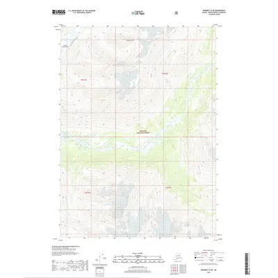
2018 Map of Seward C-6 SW
USGS Topo · Published 2018About this map
Chugach National Forest land dominates this high-altitude landscape within the Kenai Peninsula, where alpine summits and glacial drainages dictate the geography. The historic INHT: Johnson Pass Trail winds through the western corridor of the map, crossing Johnson Creek Summit and passing the shores of Bench Lake. This route is a significant component of the Iditarod National Historic Trail system, representing a critical overland connection in Alaska's early transportation history. The terrain is defined by sharp elevation changes, notably at Anderson Peak, which feeds several major stream systems including Ohio Cr, Henry Cr, and the braided channel of Trail Creek. The map provides a detailed view of the township and range boundaries for T6N R1E, T6N R2E, T5N R1E, and T5N R2E, illustrating the administrative divisions of this largely undeveloped wilderness.
Find a feature on this map
14 named features on this map. Tap any name to fly to it.
Don’t see what you’re looking for? This feature index may not catch every label — zoom into the map to look around manually.
Map Details
Editions of this 2018 Seward C-6 SW Map
This is the sole edition of this map. No revisions or reprints were ever made.
Other maps of this area

1951 · Seward
USGS Topo · 1:250,000

1951 · Seward B-7
USGS Topo · 1:63,360

1951 · Seward C-6
USGS Topo · 1:63,360

1951 · Seward B-6
USGS Topo · 1:63,360

1951 · Seward C-7
USGS Topo · 1:63,360

1952 · Seward B-6
USGS Topo · 1:63,360

1952 · Seward C-6
USGS Topo · 1:63,360

1953 · Seward C-7
USGS Topo · 1:63,360

1953 · Seward B-7
USGS Topo · 1:63,360

1953 · Seward
USGS Topo · 1:250,000