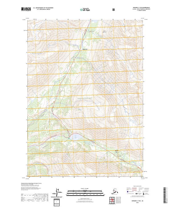
2023 Map of Seward C-7 SW
USGS Topo · Published 2023About this map
Chugach National Forest provides the backdrop for this modern topographic study of the Kenai Peninsula, where transportation corridors follow the natural dictates of the terrain. The junction of the Seward Highway and Sterling Highway serves as a primary waypoint near the shores of Tern Lake, a significant intersection for those traveling through the region's mountain passes.
Find a feature on this map
29 named features on this map. Tap any name to fly to it.
Don’t see what you’re looking for? This feature index may not catch every label — zoom into the map to look around manually.
Map Details
Editions of this 2023 Seward C-7 SW Map
This is the sole edition of this map. No revisions or reprints were ever made.
Other maps of this area

1951 · Seward
USGS Topo · 1:250,000

1951 · Seward B-7
USGS Topo · 1:63,360

1951 · Seward C-8
USGS Topo · 1:63,360

1951 · Seward B-8
USGS Topo · 1:63,360

1951 · Seward C-7
USGS Topo · 1:63,360

1952 · Seward C-8
USGS Topo · 1:63,360
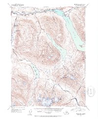
1952 · Seward B-8
USGS Topo · 1:63,360

1953 · Seward C-7
USGS Topo · 1:63,360

1953 · Seward B-7
USGS Topo · 1:63,360

1953 · Seward
USGS Topo · 1:250,000