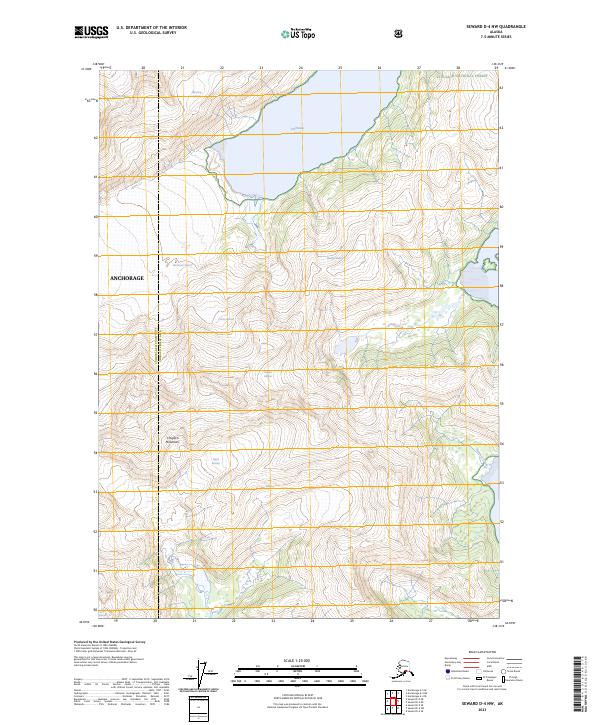
2023 Map of Seward D-4 NW
USGS Topo · Published 2023About this map
Harriman Fiord and its surrounding icy tributaries dominate this high-elevation coastal landscape within the Chugach National Forest. The map documents a complex glacial system where the massive Harriman Glacier and Surprise Glacier meet the saltwater of the fiord. To the south and east, the terrain rises into the sharp peaks of the Chugach Mountains, where smaller alpine glaciers like Wedge Glacier, Bettles Glacier, and Dirty Glacier are perched above steep drainages. This recent topographic study provides a detailed view of current ice extents and the intricate shoreline of the Anchorage municipality's eastern reaches. The presence of features like Roaring Glacier and Pigot Glacier illustrates the raw, glaciated character of this maritime wilderness, punctuated only by small drainage features like Hummer Creek.
Find a feature on this map
20 named features on this map. Tap any name to fly to it.
Don’t see what you’re looking for? This feature index may not catch every label — zoom into the map to look around manually.
Map Details
Editions of this 2023 Seward D-4 NW Map
This is the sole edition of this map. No revisions or reprints were ever made.
Other maps of this area

1951 · Seward
USGS Topo · 1:250,000

1951 · Anchorage
USGS Topo · 1:250,000

1951 · Seward D-5
USGS Topo · 1:63,360

1951 · Seward D-4
USGS Topo · 1:63,360

1952 · Seward D-5
USGS Topo · 1:63,360

1952 · Seward D-4
USGS Topo · 1:63,360

1953 · Seward
USGS Topo · 1:250,000

1959 · Seward
USGS Topo · 1:250,000

1960 · Anchorage A-5
USGS Topo · 1:63,360

1960 · Anchorage A-4
USGS Topo · 1:63,360