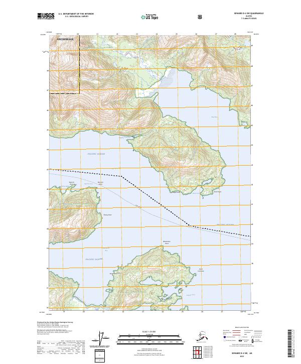
2023 Map of Seward D-4 SW
USGS Topo · Published 2023About this map
Chugach National Forest encompasses the entirety of this coastal landscape, where the waters of the Pacific Ocean meet the steep topography of the Kenai Peninsula. The intricate shoreline is defined by deep inlets and protected coves, reflecting a marine-dependent environment where access is governed by the tides. A prominent Ferry Route cuts across the Passage Canal, indicating the vital transportation links required to navigate this portion of the Anchorage Municipality Chugach Census Area. Named landmarks such as Point Pigot and Point Cochiane serve as essential navigational markers for the various bays, including Pigot Bay and the isolated Surprise Cove. The lack of terrestrial road infrastructure emphasized by the reliance on these waterways and the presence of names like Logging Camp Bay points toward the region's historical and ongoing ties to natural resource management and maritime transit.
Find a feature on this map
26 named features on this map. Tap any name to fly to it.
Don’t see what you’re looking for? This feature index may not catch every label — zoom into the map to look around manually.
Map Details
Editions of this 2023 Seward D-4 SW Map
This is the sole edition of this map. No revisions or reprints were ever made.
Other maps of this area

1951 · Seward
USGS Topo · 1:250,000

1951 · Seward D-5
USGS Topo · 1:63,360

1951 · Seward C-5
USGS Topo · 1:63,360

1951 · Seward D-4
USGS Topo · 1:63,360

1951 · Seward C-4
USGS Topo · 1:63,360

1952 · Seward D-5
USGS Topo · 1:63,360

1952 · Seward D-4
USGS Topo · 1:63,360

1952 · Seward C-5
USGS Topo · 1:63,360

1952 · Seward C-4
USGS Topo · 1:63,360

1953 · Seward
USGS Topo · 1:250,000