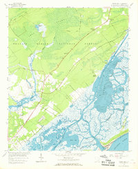
1959 Map of Sewee Bay
USGS Topo · Published 1969About this map
The salt marshes and tidal creeks of Charleston County define this coastal landscape at the edge of the Francis Marion National Forest. Inland, the terrain is dominated by the Iron Swamp and the waters of Mayrants Reserve, where several small communities are situated along the Ocean Highway. This transportation corridor links the settlements of Woodville, Chandler, and Ten Mile, each serving as a focal point for local life during the late 1950s. The presence of multiple historic houses of worship, such as Awendaw Ch and Nebo Ch, alongside the Wappetaw Cem, provides significant evidence of the region’s long-standing rural settlement patterns.
Find a feature on this map
37 named features on this map. Tap any name to fly to it.
Don’t see what you’re looking for? This feature index may not catch every label — zoom into the map to look around manually.
Map Details
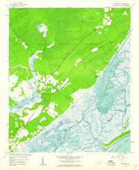
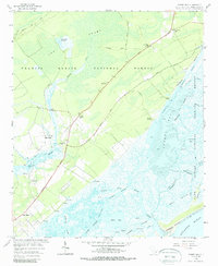
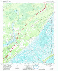
Editions of this 1959 Sewee Bay Map
4 editions found
Other maps of this area

1919 · Capers Island
USGS Topo · 1:21,120

1919 · Wando
USGS Topo · 1:21,120

1919 · Cordesville
USGS Topo · 1:48,000

1919 · Fort Moultrie
USGS Topo · 1:21,120

1919 · Bulls Island
USGS Topo · 1:21,120

1919 · Sewee Bay
USGS Topo · 1:21,120

1943 · Capers Island
USGS Topo · 1:24,000

1943 · Fort Moultrie
USGS Topo · 1:24,000

1943 · Wando
USGS Topo · 1:24,000

1943 · Sewee Bay
USGS Topo · 1:24,000