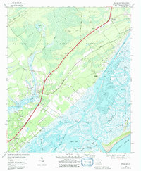
1959 Map of Sewee Bay
USGS Topo · Published 1992About this map
I O N Swamp and the dense timberlands of the Francis Marion National Forest dominate this coastal landscape, where the tides of the Atlantic Ocean meet the intricate labyrinth of the Lowcountry. Along the corridor of Ocean Highway, small communities and spiritual centers like Nebo Ch, Sewee Ch, and Awendaw Ch served the local population in the late 1950s. The map illustrates a complex hydraulic environment, featuring numerous floodgates and drainage structures near Woodville and Clauson Creek, likely remnants of historic agricultural management. The eastern edge is defined by the Intracoastal Waterway and the protected marshes of the Cape Romain National Wildlife Refuge, highlighting the region's long-standing balance between maritime transit and wilderness preservation.
Find a feature on this map
42 named features on this map. Tap any name to fly to it.
Don’t see what you’re looking for? This feature index may not catch every label — zoom into the map to look around manually.
Map Details
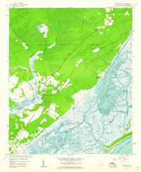
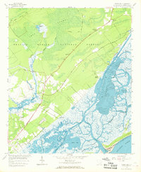
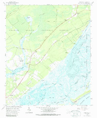
Editions of this 1959 Sewee Bay Map
4 editions found
Other maps of this area

1919 · Capers Island
USGS Topo · 1:21,120

1919 · Wando
USGS Topo · 1:21,120

1919 · Cordesville
USGS Topo · 1:48,000

1919 · Fort Moultrie
USGS Topo · 1:21,120

1919 · Bulls Island
USGS Topo · 1:21,120

1919 · Sewee Bay
USGS Topo · 1:21,120

1943 · Capers Island
USGS Topo · 1:24,000

1943 · Fort Moultrie
USGS Topo · 1:24,000

1943 · Wando
USGS Topo · 1:24,000

1943 · Sewee Bay
USGS Topo · 1:24,000