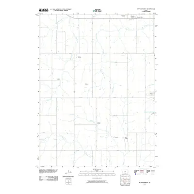
2010 Map of Seymour West
USGS Topo · Published 2010About this map
Promise City and the western outskirts of Seymour anchor this rural Wayne County landscape, where the agricultural grid is defined by a series of north-south and east-west roads such as Jubilee and Edison. The area is heavily marked by its drainage patterns, with the West Fork Locust Creek and Walnut Creek winding through the fields. For those researching local families, the map is an excellent resource for locating smaller burial grounds like Bollman Cemetery, Ripper Cemetery, and Hickerson Cemetery, which are scattered throughout the countryside.
Find a feature on this map
23 named features on this map. Tap any name to fly to it.
Don’t see what you’re looking for? This feature index may not catch every label — zoom into the map to look around manually.
Map Details
Editions of this 2010 Seymour West Map
This is the sole edition of this map. No revisions or reprints were ever made.
Other maps of this area

1934 · Humeston
USGS Topo · 1:48,000

1935 · Russell
USGS Topo · 1:62,500

1937 · Corydon
USGS Topo · 1:62,500

1938 · Russell
USGS Topo · 1:62,500

1942 · Seymour
USGS Topo · 1:62,500

1944 · Seymour
USGS Topo · 1:62,500

1954 · Centerville
USGS Topo · 1:250,000

1957 · Centerville
USGS Topo · 1:250,000

1958 · Centerville
USGS Topo · 1:250,000

1964 · Allerton
USGS Topo · 1:24,000