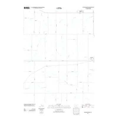
2013 Map of Seymour West
USGS Topo · Published 2013About this map
Promise City and the western edge of Seymour anchor this survey of southern Iowa's rolling agricultural landscape. The area is defined by a dense network of watercourses, including Locust Cr and its western fork, which drain southward across the Wayne County line. Small rural settlements and named locales like Granger, Kirkwood, and Jewell are connected by a grid of county roads such as Co Hwy-J46 and Jubilee Rd. This map captures the region's late-twentieth-century infrastructure, characterized by dispersed farmsteads and municipal water management projects. To the east, the Seymour City Reservoir serves as a vital hydrological feature, while the headwaters of Shoal Cr and Cooper Cr carve through the eastern sections of the quadrangle. The map reflects a classic Midwestern pattern of small-town centers linked by section-line roads and seasonal creeks.
Find a feature on this map
47 named features on this map. Tap any name to fly to it.
Don’t see what you’re looking for? This feature index may not catch every label — zoom into the map to look around manually.
Map Details
Editions of this 2013 Seymour West Map
This is the sole edition of this map. No revisions or reprints were ever made.
Other maps of this area

1934 · Humeston
USGS Topo · 1:48,000

1935 · Russell
USGS Topo · 1:62,500

1937 · Corydon
USGS Topo · 1:62,500

1938 · Russell
USGS Topo · 1:62,500

1942 · Seymour
USGS Topo · 1:62,500

1944 · Seymour
USGS Topo · 1:62,500

1954 · Centerville
USGS Topo · 1:250,000

1957 · Centerville
USGS Topo · 1:250,000

1958 · Centerville
USGS Topo · 1:250,000

1964 · Allerton
USGS Topo · 1:24,000