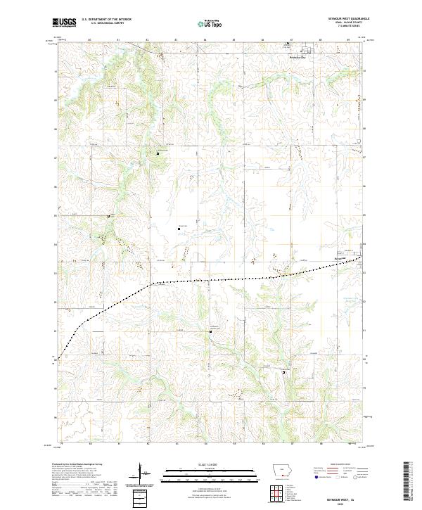
2022 Map of Seymour West
USGS Topo · Published 2022About this map
The rolling plains of Wayne County unfold along the divide between the Missouri and Mississippi River watersheds, defined by a series of south-flowing streams. The terrain is segmented by Walnut Cr, Jackson Cr, and Locust Cr, which carve shallow valleys through the agricultural landscape. Several rural crossroads and historically significant family burying grounds punctuate the land, providing a clear map of early settlement patterns and lineage.
Find a feature on this map
35 named features on this map. Tap any name to fly to it.
Don’t see what you’re looking for? This feature index may not catch every label — zoom into the map to look around manually.
Map Details
Editions of this 2022 Seymour West Map
This is the sole edition of this map. No revisions or reprints were ever made.
Other maps of this area

1934 · Humeston
USGS Topo · 1:48,000

1935 · Russell
USGS Topo · 1:62,500

1937 · Corydon
USGS Topo · 1:62,500

1938 · Russell
USGS Topo · 1:62,500

1942 · Seymour
USGS Topo · 1:62,500

1944 · Seymour
USGS Topo · 1:62,500

1954 · Centerville
USGS Topo · 1:250,000

1957 · Centerville
USGS Topo · 1:250,000

1958 · Centerville
USGS Topo · 1:250,000

1964 · Allerton
USGS Topo · 1:24,000