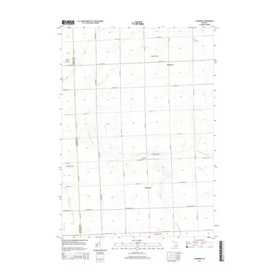
2014 Map of Shabbona
USGS Topo · Published 2014About this map
Shabbona and Wickware serve as the primary hubs in this agricultural landscape of the Thumb region, situated along the county line where Tuscola Co meets Sanilac Co. The terrain is defined by a dense network of watercourses and managed drainage, including the South Branch and Middle Branch Cass River, alongside smaller tributaries like Greenman Cr and Stony Cr. These waterways are supplemented by various artificial channels such as Kramp Drain and Argyle Howey Drain, reflecting the area's long history of land reclamation for farming.
Find a feature on this map
38 named features on this map. Tap any name to fly to it.
Don’t see what you’re looking for? This feature index may not catch every label — zoom into the map to look around manually.
Map Details
Editions of this 2014 Shabbona Map
This is the sole edition of this map. No revisions or reprints were ever made.
Other maps of this area

1954 · Flint
USGS Topo · 1:250,000

1958 · Flint
USGS Topo · 1:250,000

1963 · Snover
USGS Topo · 1:24,000

1963 · New Greenleaf
USGS Topo · 1:24,000

1963 · Ubly
USGS Topo · 1:24,000

1963 · Kingston
USGS Topo · 1:24,000

1963 · Cass City
USGS Topo · 1:24,000

1963 · Shabbona
USGS Topo · 1:24,000

1963 · Gagetown
USGS Topo · 1:24,000
1963 · Decker
USGS Topo · 1:24,000