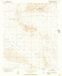
1955 Map of Shadow Mountains
USGS Topo · Published 1957About this map
Silver Peak and the surrounding Shadow Mountains define this high desert landscape, which in the mid-1950s was a hub of small-scale mineral exploration and ranching. The map reveals an intensive history of prospecting, with numerous shafts, tunnels, and prospects scattered across the arid slopes, including named operations like the Rabbit Hole Mine and Princess Pat Mine. To the north, the presence of a Dolomite Plant suggests industrial mineral processing, while an Oil Derrick in the south points to diverse resource interests during this era.
Find a feature on this map
25 named features on this map. Tap any name to fly to it.
Don’t see what you’re looking for? This feature index may not catch every label — zoom into the map to look around manually.
Map Details
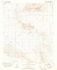
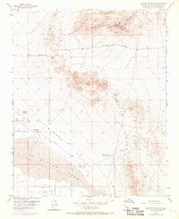
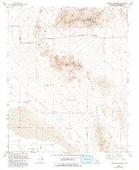
Editions of this 1955 Shadow Mountains Map
4 editions found
Other maps of this area

1930 · El Mirage
USGS Topo · 1:24,000

1931 · Adobe
USGS Topo · 1:24,000

1932 · Barstow
USGS Topo · 1:125,000

1933 · El Mirage
USGS Topo · 1:24,000

1934 · Barstow
USGS Topo · 1:125,000

1934 · Adobe
USGS Topo · 1:24,000

1937 · Shadow Mountains
USGS Topo · 1:48,000

1937 · Kramer
USGS Topo · 1:48,000

1942 · Kramer
USGS Topo · 1:62,500

1942 · Shadow Mountains
USGS Topo · 1:62,500