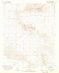
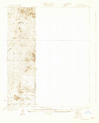
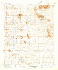
1955 Map of Shadow Mountains
USGS Topo · Published 1966About this map
Silver Peak stands as the high point of the Shadow Mountains, overlooking a landscape defined by mid-century mining interests and isolated Mojave ranching. The 1955 topography reveals a network of industrial sites, including the Princess Pat Mine and the Rabbit Hole Mine, alongside numerous tunnels and shafts that dot the slopes. These mining operations are supported by infrastructure such as the Dolomite Plant and a prominent Airway Beacon.
Find a feature on this map
23 named features on this map. Tap any name to fly to it.
Don’t see what you’re looking for? This feature index may not catch every label — zoom into the map to look around manually.
Map Details
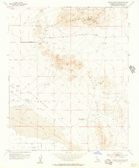
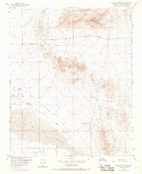
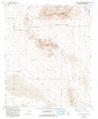
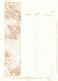
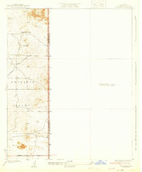
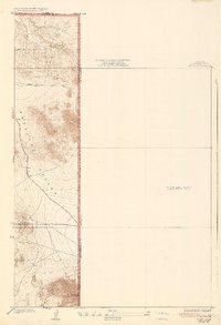
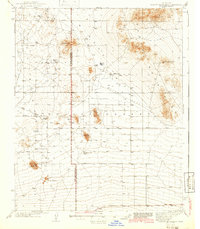
Editions of this 1955 Shadow Mountains Map
4 editions found
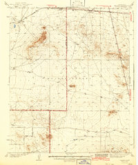
Other maps of this area
1930 · El Mirage
USGS Topo · 1:24,000
1931 · Adobe
USGS Topo · 1:24,000

1932 · Barstow
USGS Topo · 1:125,000
1933 · El Mirage
USGS Topo · 1:24,000

1934 · Barstow
USGS Topo · 1:125,000
1934 · Adobe
USGS Topo · 1:24,000
1937 · Shadow Mountains
USGS Topo · 1:48,000

1937 · Kramer
USGS Topo · 1:48,000
1942 · Kramer
USGS Topo · 1:62,500
1942 · Shadow Mountains
USGS Topo · 1:62,500