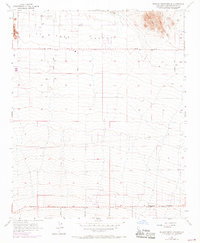
1955 Map of Shadow Mountains SE
USGS Topo · Published 1969About this map
El Mirage Field and the expansive dry bed of El Mirage Lake define this high desert landscape in San Bernardino County. In the mid-1950s, the region was characterized by the broad El Mirage Valley, flanked by the Shadow Mtns to the northeast and Gray Mtn to the west. This survey illustrates a period of emerging transit and infrastructure, with Pearblossom Highway cutting across the southern portion of the sheet. A network of rural routes, including Tanner Road, Old Phelan Road, and Sheep Creek Rd, suggests an era of early homesteading and localized development before the heavy suburban expansion of the later 20th century. Notable water resources are sparse, marked only by scattered features like a Well and a small Reservoir, reflecting the arid environmental challenges of this desert interior.
Find a feature on this map
15 named features on this map. Tap any name to fly to it.
Don’t see what you’re looking for? This feature index may not catch every label — zoom into the map to look around manually.
Map Details
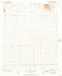
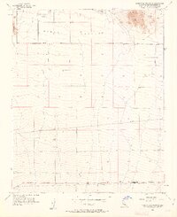
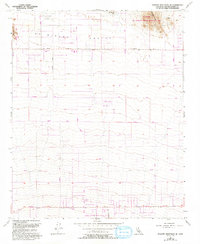
Editions of this 1955 Shadow Mountains SE Map
4 editions found
Other maps of this area

1901 · Southern California Sheet No. 1
USGS Topo · 1:250,000

1902 · Hesperia
USGS Topo · 1:62,500

1903 · San Antonio
USGS Topo · 1:62,500

1904 · Southern California Sheet No. 1
USGS Topo · 1:250,000

1930 · El Mirage
USGS Topo · 1:24,000

1930 · Angle
USGS Topo · 1:24,000

1932 · Angle
USGS Topo · 1:24,000

1932 · Barstow
USGS Topo · 1:125,000

1933 · El Mirage
USGS Topo · 1:24,000

1934 · Barstow
USGS Topo · 1:125,000