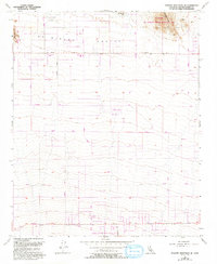
1955 Map of Shadow Mountains SE
USGS Topo · Published 1993About this map
El Mirage Valley serves as a stark desert landscape where aviation and recreation have long intersected. The presence of El Mirage Field and its accompanying Landing Strips, alongside Krey Field, points to the region's importance for local flight operations and experimental testing. Near the northern boundary, the El Mirage Off Highway Vehicle Recreation Area encompasses the salt flats of El Mirage Lake, a traditional hub for land-speed racing and off-road activities.
Find a feature on this map
28 named features on this map. Tap any name to fly to it.
Don’t see what you’re looking for? This feature index may not catch every label — zoom into the map to look around manually.
Map Details
Editions of this 1955 Shadow Mountains SE Map
4 editions found
Other maps of this area

1901 · Southern California Sheet No. 1
USGS Topo · 1:250,000

1902 · Hesperia
USGS Topo · 1:62,500

1903 · San Antonio
USGS Topo · 1:62,500

1904 · Southern California Sheet No. 1
USGS Topo · 1:250,000

1930 · El Mirage
USGS Topo · 1:24,000

1930 · Angle
USGS Topo · 1:24,000

1932 · Angle
USGS Topo · 1:24,000

1932 · Barstow
USGS Topo · 1:125,000

1933 · El Mirage
USGS Topo · 1:24,000

1934 · Barstow
USGS Topo · 1:125,000