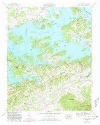
1961 Map of Shady Grove
USGS Topo · Published 1980About this map
Douglas Lake dominates the central landscape of this 1961 survey, where the rising waters of the French Broad River transformed the topography of Jefferson and Sevier Counties. The map reveals a complex shoreline marked by numerous coves and branches, such as McCracken Branch and Perry Branch, which have reshaped the traditional valley settlements. Several boat docks, including Lakefront Dock and Weaver Dock, indicate the area's mid-century shift toward a reservoir-based economy.
Find a feature on this map
55 named features on this map. Tap any name to fly to it.
Don’t see what you’re looking for? This feature index may not catch every label — zoom into the map to look around manually.
Map Details
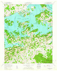
Editions of this 1961 Shady Grove Map
2 editions found
Other maps of this area

1883 · Morristown
USGS Topo · 1:125,000

1886 · Knoxville
USGS Topo · 1:125,000

1892 · Knoxville
USGS Topo · 1:125,000

1893 · Mt Guyot
USGS Topo · 1:125,000

1893 · Morristown
USGS Topo · 1:125,000

1894 · Knoxville
USGS Topo · 1:125,000

1895 · Morristown
USGS Topo · 1:125,000

1895 · Knoxville
USGS Topo · 1:125,000

1897 · Maynardville
USGS Topo · 1:125,000

1900 · Maynardville
USGS Topo · 1:125,000