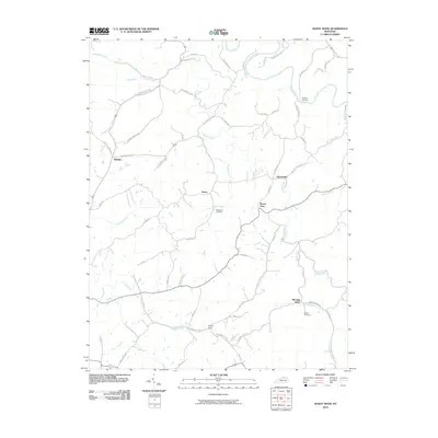
2010 Map of Shady Nook
USGS Topo · Published 2010About this map
The Licking River winds through the northeast corner of this Harrison County landscape, defining a terrain of narrow valleys and ridges connected by a network of historic pikes and rural roads. Small, established settlements such as Oddville, Sylvandell, and Morning Glory are scattered across the quadrangle, reflecting the agricultural character of the region. The map reveals a high concentration of watercourses including Beaver Creek, Little Beaver Creek, and Indian Creek, which historically dictated the placement of early homesteads and roads.
Find a feature on this map
56 named features on this map. Tap any name to fly to it.
Don’t see what you’re looking for? This feature index may not catch every label — zoom into the map to look around manually.
Map Details
Editions of this 2010 Shady Nook Map
This is the sole edition of this map. No revisions or reprints were ever made.
Other maps of this area

1929 · Cynthiana
USGS Topo · 1:48,000

1930 · Falmouth
USGS Topo · 1:48,000

1934 · Cynthiana
USGS Topo · 1:62,500

1936 · Falmouth
USGS Topo · 1:62,500

1952 · Mount Olivet
USGS Topo · 1:24,000

1952 · Piqua
USGS Topo · 1:24,000

1952 · Shady Nook
USGS Topo · 1:24,000

1952 · Claysville
USGS Topo · 1:24,000

1953 · Carlisle
USGS Topo · 1:24,000

1953 · Millersburg
USGS Topo · 1:24,000