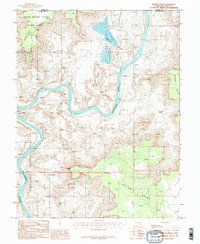
1987 Map of Shafer Basin
USGS Topo · Published 1987About this map
The Colorado River carves a deep, winding course through this 1987 survey of the high desert along the Grand and San Juan County line. The map captures the meeting of managed conservation and resource extraction, with the vast boundaries of Canyonlands National Park and Dead Horse Point State Park bordering industrial features. In the northern reaches, the Shafer Basin contains several large Salt Evaporators, providing a stark contrast to the surrounding wilderness.
Find a feature on this map
17 named features on this map. Tap any name to fly to it.
Don’t see what you’re looking for? This feature index may not catch every label — zoom into the map to look around manually.
Map Details
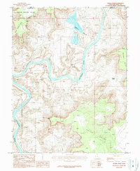
Editions of this 1987 Shafer Basin Map
2 editions found
Other maps of this area

1885 · La Sal
USGS Topo · 1:250,000

1951 · The Knoll
USGS Topo · 1:62,500

1951 · Upheaval Dome
USGS Topo · 1:62,500

1952 · Carlisle 2 SE
USGS Topo · 1:24,000

1952 · Moab 3 SE
USGS Topo · 1:24,000

1952 · Carlisle 2 NE
USGS Topo · 1:24,000

1952 · Moab 4 SW
USGS Topo · 1:24,000

1954 · Carlisle 1 NE
USGS Topo · 1:24,000

1954 · Carlisle 1 SE
USGS Topo · 1:24,000

1954 · Carlisle 1 NW
USGS Topo · 1:24,000