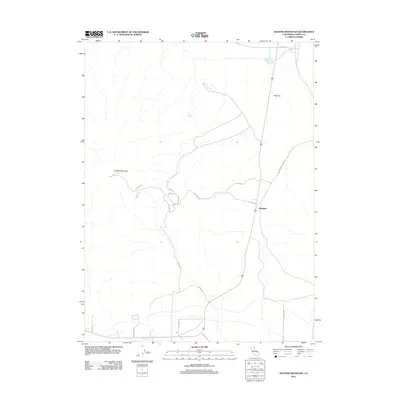
2012 Map of Shaffer Mountain
USGS Topo · Published 2012About this map
Viewland sits at the base of the prominent volcanic upland of Shaffer Mountain in this high-desert region of Lassen County. This modern survey illustrates the sparse but persistent human footprint in northeastern California, where the landscape is defined by extensive dry basins like Mud Flat and seasonal water sources such as Gilman Spring. The settlement pattern relies on a network of functional roads, including the descriptive Deep Cut Rd and Smoke Creek Ranch Rd, which connect remote ranching interests and private landholdings. In the southern portion of the quadrangle, the terrain transitions toward the irrigated flats of Tanner Slough, where smaller access ways like Stergel Ln and Blue Ln mark the presence of localized agriculture and residential pockets amidst the sagebrush and scrub.
Find a feature on this map
18 named features on this map. Tap any name to fly to it.
Don’t see what you’re looking for? This feature index may not catch every label — zoom into the map to look around manually.
Map Details
Editions of this 2012 Shaffer Mountain Map
This is the sole edition of this map. No revisions or reprints were ever made.
Other maps of this area
1886 · Honey Lake
USGS Topo · 1:250,000
1891 · Honey Lake
USGS Topo · 1:250,000
1893 · Honey Lake
USGS Topo · 1:250,000
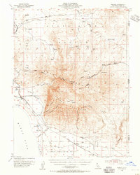
1954 · Wendel
USGS Topo · 1:62,500
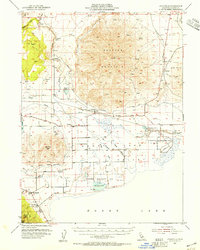
1954 · Litchfield
USGS Topo · 1:62,500
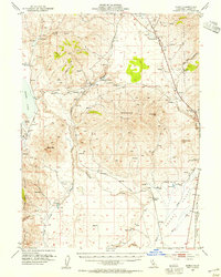
1954 · Karlo
USGS Topo · 1:62,500
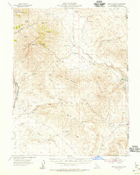
1954 · Shinn Mountain
USGS Topo · 1:62,500
1955 · Westwood
USGS Topo · 1:250,000
1958 · Westwood
USGS Topo · 1:250,000
1959 · Westwood
USGS Topo · 1:250,000