
1896 Map of Shafter
USGS Topo · Published 1896About this map
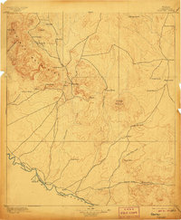
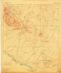
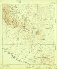
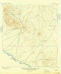
The silver mining district of Shafter anchors this high-desert landscape, where the Chinati Mountains and Cienega Mountains dominate the terrain north of the international border. In this 1895 survey, the silver operations at Ross Mine and nearby shafts signify the industrial activity of the era, contrasting with the expansive ranching culture defined by isolated outposts like Poole's Ranch, Cibolo Ranch, and Penitas Ranch. Along the southern edge, the Rio Grande marks the boundary between the United States and Mexico, where the settlements of Presidio and Ojinaga face one another across the river.
Find a feature on this map
41 named features on this map. Tap any name to fly to it.
Don’t see what you’re looking for? This feature index may not catch every label — zoom into the map to look around manually.
Map Details
Editions of this 1896 Shafter Map
5 editions found
Other maps of this area

1895 · Marfa
USGS Topo · 1:125,000

1895 · Alpine
USGS Topo · 1:125,000

1896 · Ruidosa
USGS Topo · 1:125,000

1896 · Polvo
USGS Topo · 1:125,000

1896 · San Carlos
USGS Topo · 1:125,000

1903 · Terlingua
USGS Topo · 1:125,000

1904 · Terlingua
USGS Topo · 1:125,000

1917 · Tascotal Mesa
USGS Topo · 1:62,500

1918 · Jordan Gap
USGS Topo · 1:62,500

1930 · Jordan Gap
USGS Topo · 1:62,500