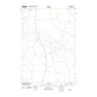
2010 Map of Shamrock
USGS Topo · Published 2010About this map
The settlement of Shamrock serves as a central point in this northern Jackson County landscape, situated where Shamrock Creek meets Stony Creek. This 2010 survey details a region defined by its watercourses, notably the Black River in the northwest corner and the winding path of Robinson Creek, which flows past the prominent Fall Hall Glen. To the north, the Black River Falls Area Airport stands near the intersection of several rural routes including Hawk Island Rd and Doud Rd. Local history and genealogy interest is anchored by the Saint Columkille Cemetery, located just south of the main hamlet. The terrain is marked by distinctive elevations such as Stony Bluff in the southeast and the sheltered Irish Valley, illustrating the varied topography of the Wisconsin driftless area edge. A network of county highways and local roads like Thundercloud Rd and Paquette Rd provides clear mapping of property access and rural infrastructure at the start of the decade.
Find a feature on this map
48 named features on this map. Tap any name to fly to it.
Don’t see what you’re looking for? This feature index may not catch every label — zoom into the map to look around manually.
Map Details
Editions of this 2010 Shamrock Map
This is the sole edition of this map. No revisions or reprints were ever made.
Other maps of this area

1924 · Black River Falls
USGS Topo · 1:62,500

1926 · Black River Falls
USGS Topo · 1:62,500

1928 · Melrose
USGS Topo · 1:48,000

1947 · Millston
USGS Topo · 1:62,500

1949 · Millston
USGS Topo · 1:62,500

1949 · Melrose
USGS Topo · 1:62,500

1953 · Eau Claire
USGS Topo · 1:250,000

1958 · Eau Claire
USGS Topo · 1:250,000

1958 · Hatfield
USGS Topo · 1:48,000

1964 · Eau Claire
USGS Topo · 1:250,000