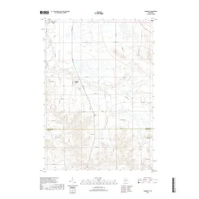
2018 Map of Shamrock
USGS Topo · Published 2018About this map
Fall Hall Glen and the surrounding drainage of the Black River Falls Area Airport characterize this portion of west-central Wisconsin. The terrain is defined by the sharp transition from the flat airport lands in the northwest to the intricate ridges and valleys of the south. Irish Valley serves as a prominent landform, carving through the landscape alongside the winding Robinson Cr and Stony Cr. For those researching local history, the Saint Columbkille Cem sits centrally located near the junction of several rural routes including Co Hwy O. The network of creeks, including Shamrock Cr and Printz Cr, illustrates the complex hydrology of the driftless area's edge, where steep bluffs like Stony Bluff rise above the stream beds.
Find a feature on this map
52 named features on this map. Tap any name to fly to it.
Don’t see what you’re looking for? This feature index may not catch every label — zoom into the map to look around manually.
Map Details
Editions of this 2018 Shamrock Map
This is the sole edition of this map. No revisions or reprints were ever made.
Other maps of this area

1924 · Black River Falls
USGS Topo · 1:62,500

1926 · Black River Falls
USGS Topo · 1:62,500

1928 · Melrose
USGS Topo · 1:48,000

1947 · Millston
USGS Topo · 1:62,500

1949 · Millston
USGS Topo · 1:62,500

1949 · Melrose
USGS Topo · 1:62,500

1953 · Eau Claire
USGS Topo · 1:250,000

1958 · Eau Claire
USGS Topo · 1:250,000

1958 · Hatfield
USGS Topo · 1:48,000

1964 · Eau Claire
USGS Topo · 1:250,000