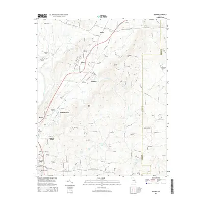
2014 Map of Shannon
USGS Topo · Published 2014About this map
Shannon and its surrounding residential developments, including Woodcliffe Estates and Lakemoore Heights, anchor the Floyd County landscape along the Ga-53 corridor. The terrain is defined by the sharp elevations of Armstrong Mtn and Ward Mtn, while the western edge is bounded by the winding Oostanaula River. This 2014 survey reveals a dense network of family and community history, particularly through its numerous small burial grounds such as Gaines Road Cem, Rush Chapel Cem, and Oostanaula Cem.
Find a feature on this map
52 named features on this map. Tap any name to fly to it.
Don’t see what you’re looking for? This feature index may not catch every label — zoom into the map to look around manually.
Map Details
Editions of this 2014 Shannon Map
This is the sole edition of this map. No revisions or reprints were ever made.
Other maps of this area

1886 · Rome
USGS Topo · 1:125,000

1890 · Cartersville
USGS Topo · 1:125,000

1891 · Cartersville
USGS Topo · 1:125,000

1896 · Cartersville
USGS Topo · 1:125,000

1898 · Rome
USGS Topo · 1:125,000

1899 · Rome
USGS Topo · 1:125,000

1904 · Rome
USGS Topo · 1:125,000

1906 · Stilesboro
USGS Topo · 1:62,500

1908 · Stilesboro
USGS Topo · 1:62,500

1941 · Adairsville
USGS Topo · 1:62,500