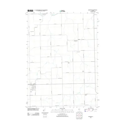
2012 Map of Shannon
USGS Topo · Published 2012About this map
Shannon and the surrounding rural landscapes of Stephenson County are documented here through an intricate network of local roads and watercourses. The area is defined by its small agricultural hubs like Bolton, Florence, and Harper, where the terrain is drained by Leaf River and Yellow Cr. Of particular interest to genealogists and local historians are the numerous cemeteries that dot the countryside, including Saint Wendelin Cem, Ellis Van Brocklin Cem, and Lane Evangelical United Baptist Cem. These sites, along with the Prairie Dell Cem and Shell Cem, provide a clear spatial record of the community’s historical lineage and religious affiliations. The map also reveals the role of local aviation in this region, with small facilities such as Janssen Airport, Moring Airport, and Sneek Airport interspersed between the farmsteads and creek valleys.
Find a feature on this map
63 named features on this map. Tap any name to fly to it.
Don’t see what you’re looking for? This feature index may not catch every label — zoom into the map to look around manually.
Map Details
Editions of this 2012 Shannon Map
This is the sole edition of this map. No revisions or reprints were ever made.
Other maps of this area

1937 · Lena
USGS Topo · 1:48,000

1939 · Freeport
USGS Topo · 1:48,000

1942 · Mt Carroll
USGS Topo · 1:62,500

1942 · Lena
USGS Topo · 1:62,500

1942 · Forreston
USGS Topo · 1:62,500

1943 · Lena
USGS Topo · 1:62,500

1944 · Mt Carroll
USGS Topo · 1:62,500

1944 · Freeport
USGS Topo · 1:62,500

1945 · Forreston
USGS Topo · 1:62,500

1954 · Rockford
USGS Topo · 1:250,000