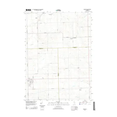
2015 Map of Shannon
USGS Topo · Published 2015About this map
The village of Shannon anchors this survey of the northern Illinois prairie, where the borders of Carroll, Ogle, and Stephenson Counties converge. This agricultural landscape is defined by a dense grid of rural roads and the drainage patterns of the Leaf River and Yellow Creek. A high concentration of family and community burial grounds, such as the Ellis Van Brocklin Cem and Prairie Dell Cem, reflects the deep-rooted settlement history of the area. Small hamlets like Bolton and Florence dot the township intersections, connected by routes such as Shannon Route and Montague Rd. To the southeast, the crossroads of Harper sits near the headwaters of Elkhorn Cr, illustrating the distribution of tiny trade centers that supported the surrounding farmsteads during the mid-20th century.
Find a feature on this map
58 named features on this map. Tap any name to fly to it.
Don’t see what you’re looking for? This feature index may not catch every label — zoom into the map to look around manually.
Map Details
Editions of this 2015 Shannon Map
This is the sole edition of this map. No revisions or reprints were ever made.
Other maps of this area

1937 · Lena
USGS Topo · 1:48,000

1939 · Freeport
USGS Topo · 1:48,000

1942 · Mt Carroll
USGS Topo · 1:62,500

1942 · Lena
USGS Topo · 1:62,500

1942 · Forreston
USGS Topo · 1:62,500

1943 · Lena
USGS Topo · 1:62,500

1944 · Mt Carroll
USGS Topo · 1:62,500

1944 · Freeport
USGS Topo · 1:62,500

1945 · Forreston
USGS Topo · 1:62,500

1954 · Rockford
USGS Topo · 1:250,000