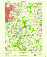
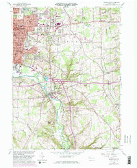
1958 Map of Sharon East
USGS Topo · Published 1960About this map
Industrial and suburban expansion in western Pennsylvania is evident across this late 1950s landscape, where the urban cores of Sharon, Farrell, and Wheatland meet the township of Hickory. The Shenango River serves as the primary drainage and industrial corridor, flanked by the tracks of the Erie RR and Pennsylvania RR. The map captures a high density of community infrastructure, from the sprawling Buhl Park and General Hospital to a significant concentration of parochial and public cemeteries like St Johns Cem and St Rose Cem. Beyond the city limits, the terrain transitions into a patchwork of hills and runs, including Keel Ridge and Hogback. Smaller settlements like West Middlesex and Hermitage are shown amidst active resource extraction, evidenced by a Strip Mine and various sand and gravel pits, reflecting the region's diverse economic base during this period of post-war growth.
Find a feature on this map
78 named features on this map. Tap any name to fly to it.
Don’t see what you’re looking for? This feature index may not catch every label — zoom into the map to look around manually.
Map Details
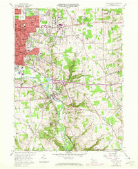
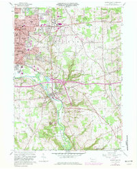
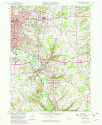
Editions of this 1958 Sharon East Map
5 editions found
Other maps of this area

1905 · Neshannock
USGS Topo · 1:62,500

1906 · Youngstown
USGS Topo · 1:62,500

1907 · Neshannock
USGS Topo · 1:62,500

1907 · Kinsman
USGS Topo · 1:62,500

1908 · Shenango
USGS Topo · 1:62,500

1908 · Youngstown
USGS Topo · 1:62,500

1950 · Cleveland
USGS Topo · 1:250,000

1951 · Campbell
USGS Topo · 1:24,000

1954 · Sharon West
USGS Topo · 1:24,000

1956 · Cleveland
USGS Topo · 1:250,000