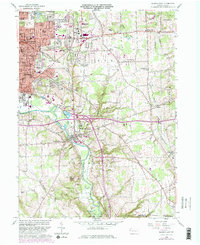
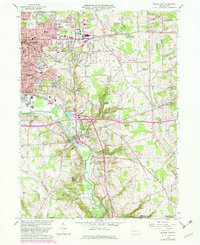
1958 Map of Sharon East
USGS Topo · Published 1982About this map
Sharon and the surrounding industrial corridor of the Shenango River valley are shown here during a period of transition in the late 1950s, with updates reflecting changes through the early 1980s. The landscape is a dense mix of civic infrastructure and residential growth, featuring numerous parish institutions such as St Stanislaus Cem and Holy Trinity Cem. The expansion of Hermitage and Hickory Corners is evident, contrasting with the more established street grids of Farrell and Wheatland.
Find a feature on this map
78 named features on this map. Tap any name to fly to it.
Don’t see what you’re looking for? This feature index may not catch every label — zoom into the map to look around manually.
Map Details
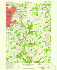
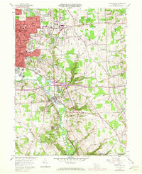
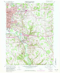
Editions of this 1958 Sharon East Map
5 editions found
Other maps of this area

1905 · Neshannock
USGS Topo · 1:62,500

1906 · Youngstown
USGS Topo · 1:62,500

1907 · Neshannock
USGS Topo · 1:62,500

1907 · Kinsman
USGS Topo · 1:62,500

1908 · Shenango
USGS Topo · 1:62,500

1908 · Youngstown
USGS Topo · 1:62,500

1950 · Cleveland
USGS Topo · 1:250,000

1951 · Campbell
USGS Topo · 1:24,000

1954 · Sharon West
USGS Topo · 1:24,000

1956 · Cleveland
USGS Topo · 1:250,000