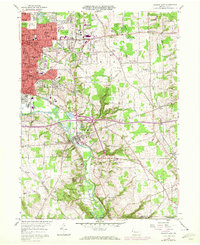
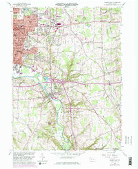
1958 Map of Sharon East
USGS Topo · Published 1972About this map
Industrial expansion and residential growth define the eastern edges of Sharon and Farrell in the mid-20th century. The Shenango River serves as the geographic anchor for the region, paralleled by the Penn Central rail lines that fueled the local economy. Beyond the urban centers, the landscape transitions into a mix of recreational and institutional spaces, including several country clubs like the Tam O'Shanter Golf Course and extensive memorial sites such as Hillcrest Memorial Park.
Find a feature on this map
77 named features on this map. Tap any name to fly to it.
Don’t see what you’re looking for? This feature index may not catch every label — zoom into the map to look around manually.
Map Details
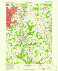
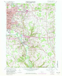
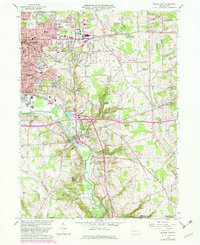
Editions of this 1958 Sharon East Map
5 editions found
Other maps of this area

1905 · Neshannock
USGS Topo · 1:62,500

1906 · Youngstown
USGS Topo · 1:62,500

1907 · Neshannock
USGS Topo · 1:62,500

1907 · Kinsman
USGS Topo · 1:62,500

1908 · Shenango
USGS Topo · 1:62,500

1908 · Youngstown
USGS Topo · 1:62,500

1950 · Cleveland
USGS Topo · 1:250,000

1951 · Campbell
USGS Topo · 1:24,000

1954 · Sharon West
USGS Topo · 1:24,000

1956 · Cleveland
USGS Topo · 1:250,000