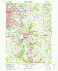
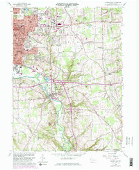
1958 Map of Sharon East
USGS Topo · Published 1982About this map
Industrial expansion and suburban growth define the landscape of Mercer County during this era, particularly within the corridor of the Shenango River. The cities of Sharon, Farrell, and Wheatland show dense residential and commercial blocks, while the township of Hickory transitions from rural intersections like Bobbys Corners and Trouts Corners into developing neighborhoods. This period captures the shifting infrastructure of local aviation, noting both the Sharon Airport (Abandoned) and the active Hermitage Airport.
Find a feature on this map
81 named features on this map. Tap any name to fly to it.
Don’t see what you’re looking for? This feature index may not catch every label — zoom into the map to look around manually.
Map Details
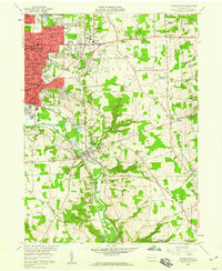
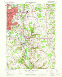
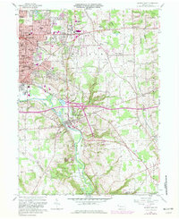
Editions of this 1958 Sharon East Map
5 editions found
Other maps of this area

1905 · Neshannock
USGS Topo · 1:62,500

1906 · Youngstown
USGS Topo · 1:62,500

1907 · Neshannock
USGS Topo · 1:62,500

1907 · Kinsman
USGS Topo · 1:62,500

1908 · Shenango
USGS Topo · 1:62,500

1908 · Youngstown
USGS Topo · 1:62,500

1950 · Cleveland
USGS Topo · 1:250,000

1951 · Campbell
USGS Topo · 1:24,000

1954 · Sharon West
USGS Topo · 1:24,000

1956 · Cleveland
USGS Topo · 1:250,000