
1972 Map of Sharon South
USGS Topo · Published 1975About this map
Sharon serves as the focal point of this Barber County landscape, where the town's grid is defined by the Atchison Topeka and Santa Fe railroad line. The map reveals an economy driven by natural resources, dominated by the Medicine Lodge Gas Field and its accompanying network of Pipelines. Beyond the industrial activity, the rural character of the area is anchored by the Sharon Cem and Bethel Ch, providing vital reference points for local history and genealogy. The terrain transitions from the agricultural flats near Little Sandy Creek to the more dissected topography of Lone Tree Canyon and the banks of Salty Creek. This survey captures the region just as modern energy infrastructure was becoming a permanent fixture of the Kansas plains, overlaying traditional ranching and farming lands with a complex web of oil and gas wells.
Find a feature on this map
19 named features on this map. Tap any name to fly to it.
Don’t see what you’re looking for? This feature index may not catch every label — zoom into the map to look around manually.
Map Details
Editions of this 1972 Sharon South Map
This is the sole edition of this map. No revisions or reprints were ever made.
Other maps of this area

1889 · Anthony
USGS Topo · 1:125,000

1891 · Medicine Lodge
USGS Topo · 1:125,000

1891 · Anthony
USGS Topo · 1:125,000

1893 · Medicine Lodge
USGS Topo · 1:125,000

1955 · Pratt
USGS Topo · 1:250,000

1959 · Pratt
USGS Topo · 1:250,000
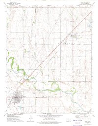
1972 · Kiowa
USGS Topo · 1:24,000
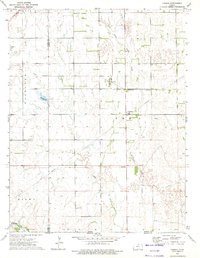
1972 · Corwin
USGS Topo · 1:24,000

1972 · Crisfield
USGS Topo · 1:24,000
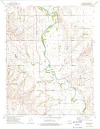
1973 · Gerlane
USGS Topo · 1:24,000