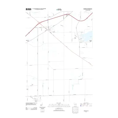
2013 Map of Sharon
USGS Topo · Published 2013About this map
Darien and Sharon anchor the northwestern and southwestern corners of this Walworth County landscape, revealing a region defined by agricultural heritage and more recent aviation history. The map highlights the transition from the village center of Sharon near New Factory Rd to the recreational shoreline of Delavan Lake in the northeast. Small-scale aviation is a distinct local feature, represented by the Big Foot Airfield and the curiously named Smilin' Sam's Airport near Co Hwy-O.
Find a feature on this map
65 named features on this map. Tap any name to fly to it.
Don’t see what you’re looking for? This feature index may not catch every label — zoom into the map to look around manually.
Map Details
Editions of this 2013 Sharon Map
This is the sole edition of this map. No revisions or reprints were ever made.
Other maps of this area

1893 · Delavan
USGS Topo · 1:62,500

1893 · Shopiere
USGS Topo · 1:62,500

1918 · Belvidere
USGS Topo · 1:62,500

1932 · Harvard
USGS Topo · 1:48,000

1937 · Harvard
USGS Topo · 1:62,500

1944 · Belvidere
USGS Topo · 1:62,500

1954 · Rockford
USGS Topo · 1:250,000

1955 · Rockford
USGS Topo · 1:250,000

1958 · Rockford
USGS Topo · 1:250,000
1960 · Delavan
USGS Topo · 1:62,500