
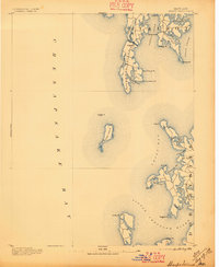
1893 Map of Sharps Island
USGS Topo · Published 1893About this map
Sharps Island stands at the center of this late nineteenth-century maritime landscape, a landmass that has notably changed in the decades since this survey. Located at the confluence of the Chesapeake Bay and the Little Choptank River, the island is shown with the Sharps I. Light marking the vital shipping channels of the Eastern Shore. The coastline of Talbot and Dorchester counties is defined by a complex network of necks and coves, where water-dependent life centered on Tilghman Island and the village of Tilghman. Maritime navigation is the primary focus, with the Knapp Narrows providing a critical passage between the bay and the mainland. The detailed hydrography and named points, such as Black Walnut Pt. and Cook Pt., illustrate a geography shaped by the oyster trade and bay commerce before modern erosion significantly altered these shorelines.
Find a feature on this map
38 named features on this map. Tap any name to fly to it.
Don’t see what you’re looking for? This feature index may not catch every label — zoom into the map to look around manually.
Map Details
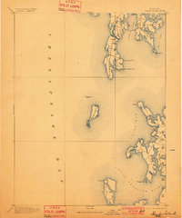
Editions of this 1893 Sharps Island Map
3 editions found
Other maps of this area

1892 · Leonardtown
USGS Topo · 1:62,500

1892 · Drum Point
USGS Topo · 1:62,500

1892 · Prince Frederick
USGS Topo · 1:62,500

1892 · Owensville
USGS Topo · 1:62,500

1892 · Annapolis
USGS Topo · 1:62,500

1895 · Prince Frederick
USGS Topo · 1:62,500

1895 · Leonardtown
USGS Topo · 1:62,500

1895 · Nomini
USGS Topo · 1:125,000

1895 · Owensville
USGS Topo · 1:62,500

1898 · Choptank
USGS Topo · 1:125,000