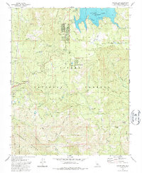
1982 Map of Shaver Lake
USGS Topo · Published 1987About this map
Shaver Lake serves as the focal point for this high-altitude landscape in Sierra National Forest, where the transition from recreation to industrial history is visible on the terrain. The settlement of Shaver Lake is surrounded by a network of seasonal camps and established communities like Ockenden and Sierra Cedars. The map records a legacy of timber harvesting, marking numerous locations where the forest has reclaimed earlier operations, including the Old Bretz Mill (Site), Mathews Mill (Site), and Peterson Mill (Site). Drainage from Mount Stevenson feeds into Stevenson Creek, while the southern reaches are defined by the steep descent of Sycamore Creek and the notable Soaproot Flat. This survey highlights the complex infrastructure required for mountain life, from the Pine Ridge Sch and Pine Ridge Ranger Station to the specialized Sewage Disposal Ponds and water tanks that support the local population.
Find a feature on this map
44 named features on this map. Tap any name to fly to it.
Don’t see what you’re looking for? This feature index may not catch every label — zoom into the map to look around manually.
Map Details
Editions of this 1982 Shaver Lake Map
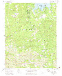
2 editions found
Other maps of this area

1904 · Kaiser
USGS Topo · 1:125,000

1922 · Trimmer
USGS Topo · 1:96,000

1924 · Dinuba
USGS Topo · 1:125,000

1942 · Watts Valley
USGS Topo · 1:62,500

1944 · Watts Valley
USGS Topo · 1:62,500

1947 · Mariposa
USGS Topo · 1:250,000

1948 · Fresno
USGS Topo · 1:250,000

1948 · Mariposa
USGS Topo · 1:250,000

1952 · Patterson Mountain
USGS Topo · 1:62,500

1953 · Huntington Lake
USGS Topo · 1:62,500