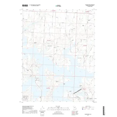
2017 Map of Shawnee Bend
USGS Topo · Published 2017About this map
Warsaw and the nearby settlement of Racket anchor this topographical study of the meandering waters where the Harry S Truman Reservoir and Lake of the Ozarks converge. The landscape is defined by its complex shoreline, characterized by dramatic landforms like Devils Backbone and Kaysinger Bluff. These features illustrate the deep dissection of the plateau by former river valleys, now transformed into a massive recreational and hydroelectric basin.
Find a feature on this map
98 named features on this map. Tap any name to fly to it.
Don’t see what you’re looking for? This feature index may not catch every label — zoom into the map to look around manually.
Map Details
Editions of this 2017 Shawnee Bend Map
This is the sole edition of this map. No revisions or reprints were ever made.
Other maps of this area

1887 · Clinton
USGS Topo · 1:125,000

1887 · Warsaw
USGS Topo · 1:125,000

1894 · Warsaw
USGS Topo · 1:125,000

1894 · Clinton
USGS Topo · 1:125,000

1935 · Dell
USGS Topo · 1:24,000

1936 · Shawnee Bend
USGS Topo · 1:24,000

1936 · Schuyler
USGS Topo · 1:24,000

1941 · Valhalla
USGS Topo · 1:24,000

1945 · Fristoe
USGS Topo · 1:62,500
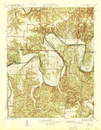
1945 · Valhalla
USGS Topo · 1:24,000