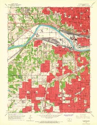
1964 Map of Shawnee
USGS Topo · Published 1966About this map
The Kansas River winds through the heart of this mid-1960s landscape, serving as a primary corridor for heavy industry and transportation. Extensive rail yards and lines, including the Union Pacific and the Atchison Topeka and Santa Fe, dominate the riverside topography, particularly around the communities of Argentine and Turner. The map captures the dense urban and suburban growth across the Wyandotte and Johnson county line, where the residential grids of Shawnee, Merriam, and Mission expand into former rural tracts.
Find a feature on this map
161 named features on this map. Tap any name to fly to it.
Don’t see what you’re looking for? This feature index may not catch every label — zoom into the map to look around manually.
Map Details
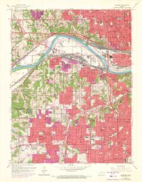
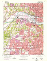
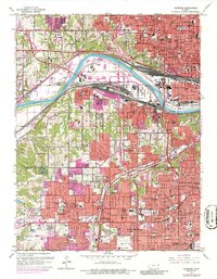
Editions of this 1964 Shawnee Map
4 editions found
Other maps of this area

1887 · Olathe
USGS Topo · 1:125,000

1890 · Kansas City
USGS Topo · 1:125,000

1893 · Olathe
USGS Topo · 1:125,000

1894 · Kansas City
USGS Topo · 1:125,000

1934 · Bonner Springs
USGS Topo · 1:48,000

1934 · Grandview
USGS Topo · 1:24,000

1934 · Shawnee
USGS Topo · 1:24,000

1934 · Edwardsville
USGS Topo · 1:24,000

1934 · Wolcott
USGS Topo · 1:24,000

1935 · Olathe
USGS Topo · 1:24,000