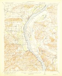
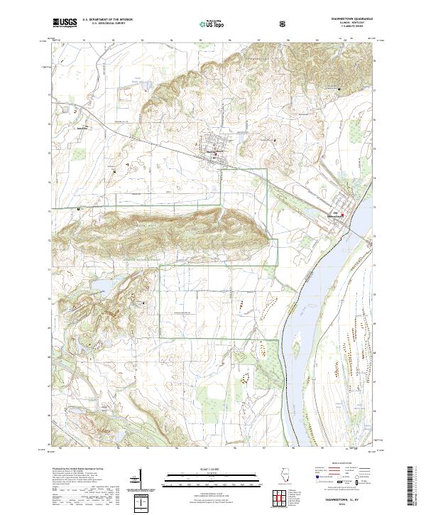
1916 Map of Shawneetown
USGS Topo · Published 1916About this map
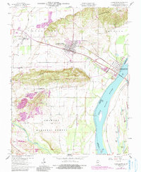
The Ohio River serves as the central artery and state boundary in this 1914 survey, where the river economy is defined by numerous landings and ferries. In the Illinois territory, the historic river port of Shawneetown sits just below the Shawneetown Hills, while to the west, the Saline River winds toward the extractive operations at Saline Mines. This area is a patchwork of small school districts and early landings like Wilson Landing and Talbott Landing, reflecting a highly localized rural infrastructure.
Find a feature on this map
107 named features on this map. Tap any name to fly to it.
Don’t see what you’re looking for? This feature index may not catch every label — zoom into the map to look around manually.
Map Details
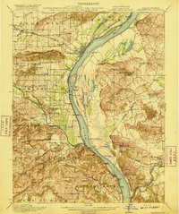
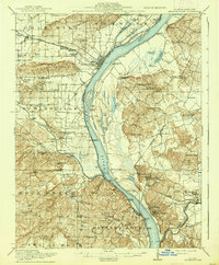
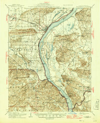
Editions of this 1916 Shawneetown Map
5 editions found

Historical Maps of Sturgis Through Time
9 maps found
1916 Shawneetown
Gallatin County, IL
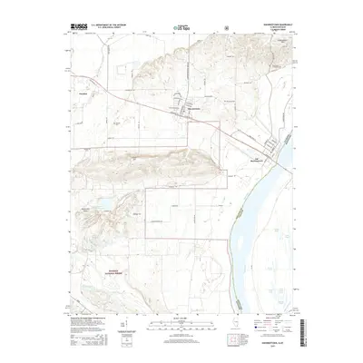
1959 Shawneetown
Gallatin County, IL
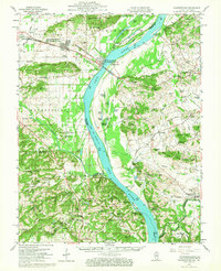
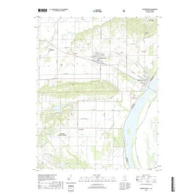
1959 Shawneetown
Gallatin County, IL
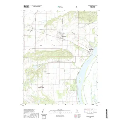
1996 Shawneetown
Gallatin County, IL
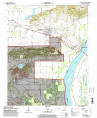
2010 Shawneetown
Gallatin County, IL
2015 Shawneetown
Gallatin County, IL
2018 Shawneetown
Gallatin County, IL
2021 Shawneetown
Gallatin County, IL
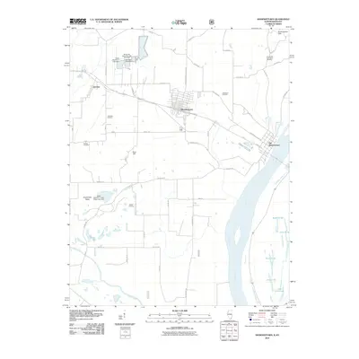
2024 Shawneetown
Gallatin County, IL