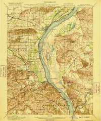
1916 Map of Shawneetown
USGS Topo · Published 1916About this map
Shawneetown stands prominently at a bend in the Ohio River, serving as a critical junction for commerce and travel long before modern bridge networks dominated the landscape. This 1916 survey captures a river-oriented economy defined by numerous river access points like Talbott Landing, Sellers Landing, and Clarks Ferry. Inland, the landscape is dotted with coal mining operations and small settlements such as Saline Mines and De Koven, the latter serviced by the Illinois Central railroad. The abundance of named rural institutions, including the Saline Mines School and Mt Zion Church, indicates a well-established community structure amidst the bottomlands and hills. The intricate network of waterways like Cypress Slough and Goose Pond illustrates the complex drainage of the Ohio valley, which dictated the placement of roads and the Louisville and Nashville rail line.
Find a feature on this map
101 named features on this map. Tap any name to fly to it.
Don’t see what you’re looking for? This feature index may not catch every label — zoom into the map to look around manually.
Map Details
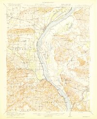
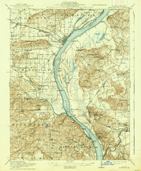
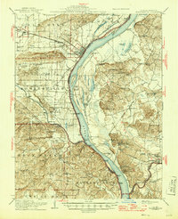
Editions of this 1916 Shawneetown Map
5 editions found
Other maps of this area

1905 · Eldorado
USGS Topo · 1:62,500

1905 · New Haven
USGS Topo · 1:62,500

1906 · New Haven
USGS Topo · 1:62,500

1906 · Eldorado
USGS Topo · 1:62,500

1907 · Morganfield
USGS Topo · 1:62,500

1909 · Providence
USGS Topo · 1:62,500

1916 · Shawneetown
USGS Topo · 1:62,500

1916 · Fords Ferry
USGS Topo · 1:62,500

1916 · Golconda
USGS Topo · 1:62,500

1916 · Equality
USGS Topo · 1:62,500