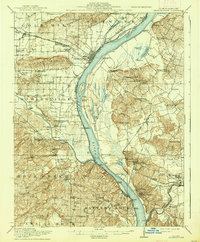
1916 Map of Shawneetown
USGS Topo · Published 1937About this map
Shawneetown serves as the focal point for this riverside landscape where the Ohio River forms the winding boundary between Illinois and Kentucky. The area is defined by a dense network of water-based transport and early industrial activity, including coal extraction at Saline Mines and the Davis Mine. Along the banks, numerous river crossings like Saline Rocks Ferry and Clarks Ferry underscore the era's reliance on ferries before widespread bridge construction. Inland, the terrain rises into the Gold Hill and Shawneetown Hills, interspersed with dozens of rural schools such as Ringgold School and Battery Rock School. The southern portion of the map traces the confluence where the Saline River and Tradewater River meet the Ohio, highlighting the importance of landings like Wilson Landing and Talbott Landing for the local trade and transport economy.
Find a feature on this map
104 named features on this map. Tap any name to fly to it.
Don’t see what you’re looking for? This feature index may not catch every label — zoom into the map to look around manually.
Map Details
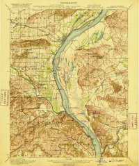
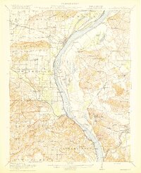
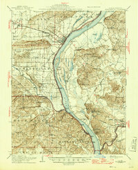
Editions of this 1916 Shawneetown Map
5 editions found
Other maps of this area

1905 · Eldorado
USGS Topo · 1:62,500

1905 · New Haven
USGS Topo · 1:62,500

1906 · New Haven
USGS Topo · 1:62,500

1906 · Eldorado
USGS Topo · 1:62,500

1907 · Morganfield
USGS Topo · 1:62,500

1909 · Providence
USGS Topo · 1:62,500

1916 · Shawneetown
USGS Topo · 1:62,500

1916 · Fords Ferry
USGS Topo · 1:62,500

1916 · Golconda
USGS Topo · 1:62,500

1916 · Equality
USGS Topo · 1:62,500