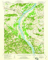
1959 Map of Shawneetown
USGS Topo · Published 1960About this map
Old Shawneetown and its inland successor, New Shawneetown, anchor this detailed survey of the lower Ohio River valley. This era reveals a landscape transitioning from river-centric commerce to inland extraction, marked by the extensive Shawneetown National Forest and a complex network of wetlands such as Cypress Slough and Big Lake. The map captures the industrial character of the region through numerous extractive sites like the Kuykendall Mine, Minerva Mine No 1, and the cluster of Saline Mines. Small communities and river landings, including Caseyville and Saline Landing, dot the banks, while the presence of the L & N and Baltimore and Ohio railroads highlights the vital transport corridors of the late 1950s. Genealogists will find a wealth of local detail, from the Shewmaker Sch to numerous family burial grounds such as McGhee Cem and Kanady Cem.
Find a feature on this map
139 named features on this map. Tap any name to fly to it.
Don’t see what you’re looking for? This feature index may not catch every label — zoom into the map to look around manually.
Map Details
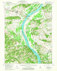
Editions of this 1959 Shawneetown Map
2 editions found
Other maps of this area

1905 · Eldorado
USGS Topo · 1:62,500

1905 · New Haven
USGS Topo · 1:62,500

1906 · New Haven
USGS Topo · 1:62,500

1906 · Eldorado
USGS Topo · 1:62,500

1907 · Morganfield
USGS Topo · 1:62,500

1909 · Providence
USGS Topo · 1:62,500

1916 · Shawneetown
USGS Topo · 1:62,500

1916 · Fords Ferry
USGS Topo · 1:62,500

1916 · Golconda
USGS Topo · 1:62,500

1916 · Equality
USGS Topo · 1:62,500