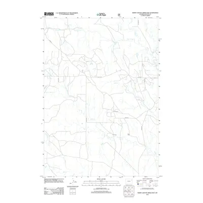
2012 Map of Sheep Canyon Creek East
USGS Topo · Published 2012About this map
The high plains of Weston County are defined by a complex network of intermittent drainages and ranching outposts as they appeared in 2012. Family-named landmarks such as Giffon Ranch, Cowger Ranch, and Slagle Ranch anchor the landscape, reflecting the enduring agricultural heritage of the region. This area is characterized by the branching headwaters of several significant creeks, including Fiddler Cr and its tributaries, N Fork Fiddler Cr and W Fork Fiddler Cr, as well as the southern reaches of Sheep Canyon Cr and Beaver Cr.
Find a feature on this map
19 named features on this map. Tap any name to fly to it.
Don’t see what you’re looking for? This feature index may not catch every label — zoom into the map to look around manually.
Map Details
Editions of this 2012 Sheep Canyon Creek East Map
This is the sole edition of this map. No revisions or reprints were ever made.
Other maps of this area

1898 · Sundance
USGS Topo · 1:125,000

1899 · Newcastle
USGS Topo · 1:125,000

1901 · Newcastle
USGS Topo · 1:125,000

1902 · Sundance
USGS Topo · 1:125,000

1918 · Moorcroft
USGS Topo · 1:125,000

1954 · Gillette
USGS Topo · 1:250,000

1955 · Newcastle
USGS Topo · 1:250,000

1955 · Gillette
USGS Topo · 1:250,000

1957 · Upton
USGS Topo · 1:62,500

1958 · Gillette
USGS Topo · 1:250,000