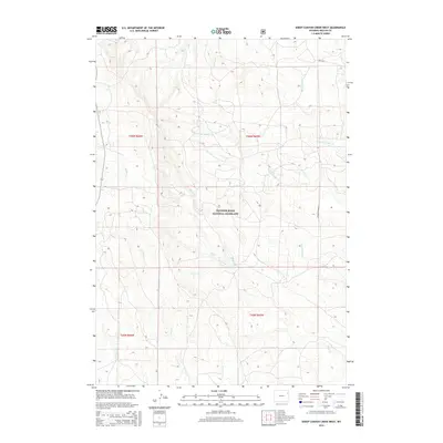
2015 Map of Sheep Canyon Creek West
USGS Topo · Published 2015About this map
Thunder Basin National Grassland dominates this portion of Weston County, providing a clear picture of the high plains drainage systems in eastern Wyoming. The landscape is defined by an intricate network of intermittent waterways, including the upper reaches of Sheep Canyon Cr and the diverging branches of N Fork Fiddler Cr and W Fork Fiddler Cr. These creek beds and their surrounding topography reveal the complex erosion patterns characteristic of the region's semi-arid environment.
Find a feature on this map
16 named features on this map. Tap any name to fly to it.
Don’t see what you’re looking for? This feature index may not catch every label — zoom into the map to look around manually.
Map Details
Editions of this 2015 Sheep Canyon Creek West Map
This is the sole edition of this map. No revisions or reprints were ever made.
Other maps of this area

1918 · Moorcroft
USGS Topo · 1:125,000

1954 · Gillette
USGS Topo · 1:250,000

1955 · Newcastle
USGS Topo · 1:250,000

1955 · Gillette
USGS Topo · 1:250,000

1957 · Upton
USGS Topo · 1:62,500

1958 · Gillette
USGS Topo · 1:250,000

1958 · Newcastle
USGS Topo · 1:250,000

1962 · Gillette
USGS Topo · 1:250,000

1979 · Newcastle
USGS Topo · 1:100,000

1979 · Sundance
USGS Topo · 1:100,000