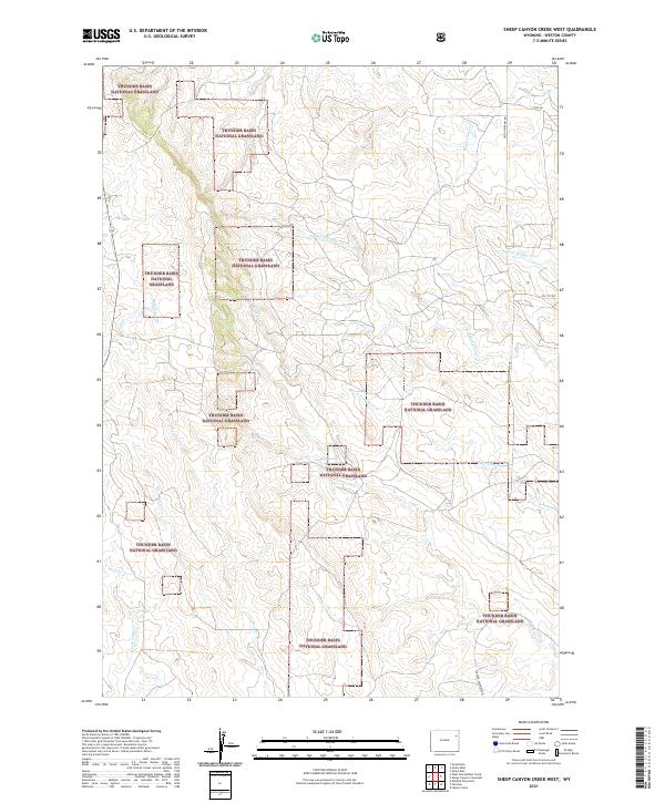
2021 Map of Sheep Canyon Creek West
USGS Topo · Published 2021About this map
Thunder Basin National Grassland dominates this portion of Weston County, where a complex network of ephemeral drainages carves through the high plains landscape. The map reveals the intricate watershed of the Cheyenne River basin, including Sheep Canyon Cr and the multiple branches of Mush Cr. This terrain is characterized by its wide-open ranching character, where few maintained roads like Upton Fairview Rd and Oil City Rd provide access to interior sections. Small geographic markers such as Mud Springs denote the rare presence of reliable water in this arid environment. The map provides a detailed view of the sectional boundaries and township lines, including t45n r65w and t46n r66w, which define the cadastral grid of the Wyoming prairie.
Find a feature on this map
17 named features on this map. Tap any name to fly to it.
Don’t see what you’re looking for? This feature index may not catch every label — zoom into the map to look around manually.
Map Details
Editions of this 2021 Sheep Canyon Creek West Map
This is the sole edition of this map. No revisions or reprints were ever made.
Other maps of this area

1918 · Moorcroft
USGS Topo · 1:125,000

1954 · Gillette
USGS Topo · 1:250,000

1955 · Newcastle
USGS Topo · 1:250,000

1955 · Gillette
USGS Topo · 1:250,000

1957 · Upton
USGS Topo · 1:62,500

1958 · Gillette
USGS Topo · 1:250,000

1958 · Newcastle
USGS Topo · 1:250,000

1962 · Gillette
USGS Topo · 1:250,000

1979 · Newcastle
USGS Topo · 1:100,000

1979 · Sundance
USGS Topo · 1:100,000