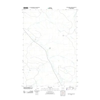
2011 Map of Sheep Creek Camp
USGS Topo · Published 2011About this map
Sheep Creek Camp anchors this survey of central Montana ranch land, where the drainage networks of Rosebud County dictate the layout of roads and remote stations. The landscape is defined by the winding course of the East Fork Armells Creek and its convergence with tributaries like East Sevenmile Creek. This 2011 map documents a region where water management is vital for the local economy, evidenced by the Vassaus Number 7 Dam and the humorously named On Golden Pond. Small, isolated locales like Moon and the Flying X Camp represent the sparse settlement patterns typical of this high plains environment, providing a precise record of the road names and property landmarks used by contemporary residents and land managers.
Find a feature on this map
10 named features on this map. Tap any name to fly to it.
Don’t see what you’re looking for? This feature index may not catch every label — zoom into the map to look around manually.
Map Details
Editions of this 2011 Sheep Creek Camp Map
This is the sole edition of this map. No revisions or reprints were ever made.
Other maps of this area

1954 · Hardin
USGS Topo · 1:250,000

1954 · Forsyth
USGS Topo · 1:250,000

1957 · Hardin
USGS Topo · 1:250,000

1957 · Forsyth
USGS Topo · 1:250,000

1958 · Forsyth
USGS Topo · 1:250,000

1958 · Hardin
USGS Topo · 1:250,000

1971 · Trail Creek School
USGS Topo · 1:24,000

1971 · Colstrip East
USGS Topo · 1:24,000

1971 · Griffin Coulee NE
USGS Topo · 1:24,000

1971 · Smith Creek NE
USGS Topo · 1:24,000