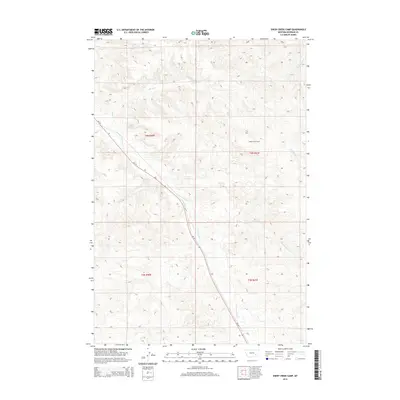
2014 Map of Sheep Creek Camp
USGS Topo · Published 2014About this map
Sheep Creek Camp stands as a focal point in this portion of Rosebud County, situated within a landscape defined by a dendritic network of drainage basins. The area is dominated by the winding course of Sheep Cr and the E Fork Armells Cr, which carve through the terrain alongside other significant waterways like E Sevenmile Cr and Cottonwood Cr. These creek systems illustrate the natural drainage patterns toward W Rosebud Cr to the east.
Find a feature on this map
11 named features on this map. Tap any name to fly to it.
Don’t see what you’re looking for? This feature index may not catch every label — zoom into the map to look around manually.
Map Details
Editions of this 2014 Sheep Creek Camp Map
This is the sole edition of this map. No revisions or reprints were ever made.
Other maps of this area

1954 · Hardin
USGS Topo · 1:250,000

1954 · Forsyth
USGS Topo · 1:250,000

1957 · Hardin
USGS Topo · 1:250,000

1957 · Forsyth
USGS Topo · 1:250,000

1958 · Forsyth
USGS Topo · 1:250,000

1958 · Hardin
USGS Topo · 1:250,000

1971 · Trail Creek School
USGS Topo · 1:24,000

1971 · Colstrip East
USGS Topo · 1:24,000

1971 · Griffin Coulee NE
USGS Topo · 1:24,000

1971 · Smith Creek NE
USGS Topo · 1:24,000