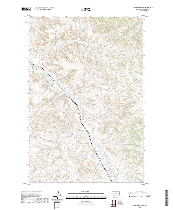
2024 Map of Sheep Creek Camp
USGS Topo · Published 2024About this map
Sheep Creek meanders through the drainages of central Rosebud County, Montana, carving a complex system of coulees and ridges in the high plains. This U.S. Geological Survey representation reveals the essential hydrology that has long defined life in this semi-arid region, where water sources like East Fork Armells Creek and Cottonwood Creek dictate the layout of ranching boundaries and transportation routes. The map provides a clear look at the public land survey system, including t4n r40e and t4n r41e, which illustrate how the territory was partitioned for settlement and grazing.
Find a feature on this map
9 named features on this map. Tap any name to fly to it.
Don’t see what you’re looking for? This feature index may not catch every label — zoom into the map to look around manually.
Map Details
Editions of this 2024 Sheep Creek Camp Map
This is the sole edition of this map. No revisions or reprints were ever made.
Other maps of this area

1954 · Hardin
USGS Topo · 1:250,000

1954 · Forsyth
USGS Topo · 1:250,000

1957 · Hardin
USGS Topo · 1:250,000

1957 · Forsyth
USGS Topo · 1:250,000

1958 · Forsyth
USGS Topo · 1:250,000

1958 · Hardin
USGS Topo · 1:250,000

1971 · Trail Creek School
USGS Topo · 1:24,000

1971 · Colstrip East
USGS Topo · 1:24,000

1971 · Griffin Coulee NE
USGS Topo · 1:24,000

1971 · Smith Creek NE
USGS Topo · 1:24,000