
1972 Map of Sheep Creek
USGS Topo · Published 1975About this map
Leland Sch serves as a lone community landmark in this drainage-carved corner of McKenzie County, where the landscape is defined by an intricate network of seasonal draws and perennial waters. The map captures the convergence of several major watercourses, including the central path of Sheep Creek and its various tributaries such as Chicken Creek and Corral Creek. To the south, Bennie Peer Creek and Poker Jim Creek wind through the breaks, illustrating the complex erosional patterns typical of the region.
Find a feature on this map
13 named features on this map. Tap any name to fly to it.
Don’t see what you’re looking for? This feature index may not catch every label — zoom into the map to look around manually.
Map Details
Editions of this 1972 Sheep Creek Map
This is the sole edition of this map. No revisions or reprints were ever made.
Other maps of this area

1953 · Watford City
USGS Topo · 1:250,000

1957 · Watford City
USGS Topo · 1:250,000

1967 · Watford City
USGS Topo · 1:250,000

1972 · Horse Creek School
USGS Topo · 1:24,000

1972 · Moline School
USGS Topo · 1:24,000
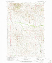
1972 · Phillip Spring
USGS Topo · 1:24,000

1972 · Sather Lake
USGS Topo · 1:24,000
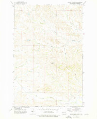
1972 · Burning Mine Butte
USGS Topo · 1:24,000
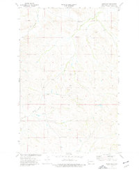
1974 · Squaw Gap
USGS Topo · 1:24,000
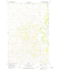
1974 · Cinnamon Creek
USGS Topo · 1:24,000