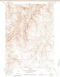
1955 Map of Sheep Rock
USGS Topo · Published 1982About this map
The Laramie Mountains dominate this landscape of Albany County, Wyoming, as it appeared during the mid-1950s. The topography is defined by the complex drainage systems of the Sybille Creek watershed, featuring the North Sybille Creek, Middle Sybille Creek, and the main stem of Sybille Creek itself. These watercourses carve through deep terrain, creating significant landmarks such as Long Canyon and Plumbago Canyon.
Find a feature on this map
13 named features on this map. Tap any name to fly to it.
Don’t see what you’re looking for? This feature index may not catch every label — zoom into the map to look around manually.
Map Details
Editions of this 1955 Sheep Rock Map
2 editions found
Other maps of this area

1954 · Cheyenne
USGS Topo · 1:250,000

1955 · Poe Mountain
USGS Topo · 1:24,000

1955 · Bosler SE
USGS Topo · 1:24,000

1955 · Bluegrass Wells
USGS Topo · 1:24,000

1955 · Sybille Springs
USGS Topo · 1:24,000

1955 · Indian Guide
USGS Topo · 1:24,000

1955 · Guide Rock
USGS Topo · 1:24,000

1955 · Baldy Mountain
USGS Topo · 1:24,000

1955 · Sheep Rock
USGS Topo · 1:24,000

1955 · Goat Mountain
USGS Topo · 1:24,000