
1968 Map of Sheep Run Creek
USGS Topo · Published 1971About this map
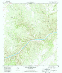
The Llano River carves a sweeping path through this Central Texas landscape, which sits at the intersection of three counties. Mapped by the U.S. Geological Survey and field-checked in 1968, the terrain is defined by a dense network of drainage systems, including Leon Creek and Sheep Run. The topography is marked by significant features like Hogg Bluff and the narrow corridor of Cedar Hollow, illustrating the limestone-carved relief characteristic of the Edwards Plateau. Boundary lines for Menard, Kimble, and Mason counties meet here, reflecting the administrative divisions of this ranching and river country. While largely rural and sparsely settled, signs of industrial utility appear via several Gravel Pits, and transportation is anchored by the James River Road in the southeast corner.
Find a feature on this map
16 named features on this map. Tap any name to fly to it.
Don’t see what you’re looking for? This feature index may not catch every label — zoom into the map to look around manually.
Map Details
Editions of this 1968 Sheep Run Creek Map
2 editions found
Other maps of this area

1887 · Mason
USGS Topo · 1:125,000

1894 · Mason
USGS Topo · 1:125,000

1954 · Llano
USGS Topo · 1:250,000

1955 · Llano
USGS Topo · 1:250,000

1956 · Llano
USGS Topo · 1:250,000
1967 · Monument Mountain SE
USGS Topo · 1:24,000

1968 · Monument Mountain
USGS Topo · 1:24,000
1968 · Turtle Creek
USGS Topo · 1:24,000

1968 · London
USGS Topo · 1:24,000

1968 · Yates
USGS Topo · 1:24,000