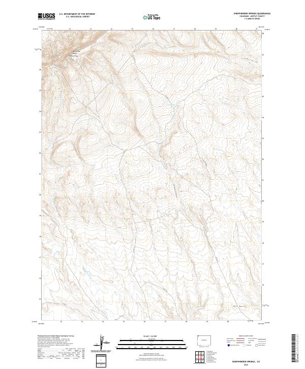
2022 Map of Sheepherder Springs
USGS Topo · Published 2022About this map
Vermillion Bluffs dominate the northern landscape of this Moffat County region, anchored by the high point of Lookout Mtn. This terrain is defined by a network of seasonal watercourses and drainage systems including Sheepherder Spring Draw and the N Fork Sand Wash. The presence of Sheepherder Springs suggests a vital water source in this arid expanse, likely serving as a landmark for early sheep ranching or travel. Infrastructure is limited to a sparse grid of rural routes such as Co RD 67 and Co RD 52, tracing the natural contours of the land. To the southeast, the Twin Buttes stand as a distinct navigational marker near the edge of the survey area.
Find a feature on this map
17 named features on this map. Tap any name to fly to it.
Don’t see what you’re looking for? This feature index may not catch every label — zoom into the map to look around manually.
Map Details
Editions of this 2022 Sheepherder Springs Map
This is the sole edition of this map. No revisions or reprints were ever made.
Other maps of this area

1954 · Vernal
USGS Topo · 1:250,000

1958 · Vernal
USGS Topo · 1:250,000

1960 · Vernal
USGS Topo · 1:250,000

1960 · Lone Mountain
USGS Topo · 1:62,500

1966 · G Spring
USGS Topo · 1:24,000

1966 · Sheephead Basin
USGS Topo · 1:24,000

1966 · Hiawatha
USGS Topo · 1:24,000

1969 · Sheepherder Springs
USGS Topo · 1:24,000

1969 · Coffeepot Spring
USGS Topo · 1:24,000

1969 · Powder Wash
USGS Topo · 1:24,000